| Quick Facts: | Lake Itasca |
|---|---|
| Country: | USA |
| Lake Type: | glacial |
| Surface Area: | 1.8 sq mi (4.7 km2) |
| Avg. Depth: | 20-35 ft (6-11 m) |
| Water volume: | 12 km2 (2.9 cu mi) |
| Surface elevation: | 1.475 ft (450 m) |
| Primary inflows: | Nicollet Creek Elk Lake outlet stream |
| Primary outflows: | Mississippi River |
| Islands: | Schoolcraft Island |
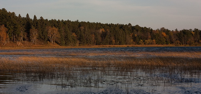
Lake Itasca is the body of water that (with the creeks that feed it) is regarded as the source of the Mississippi River. It is located in northwestern Minnesota, in Clearwater County, about 150 miles (240 km) west of Duluth. Itasca is a glacial lake with an area of only about 1.8 square miles (4.5 sq km) and an average depth of 20 to 35 feet (6 to 10 meters). Its elevation is about 1,475 feet (450 meters). The outlet, where the Mississippi emerges on its journey of more than 2,500 miles (4,000 km) to the Gulf of Mexico, can be crossed on stepping-stones.
Human relics in the region are almost 10,000 years old. The first white man known to have visited the lake was William Morrison, in 1804. The search for the headwaters of the Mississippi brought many explorers to the area. One of them, Henry R. Schoolcraft, proclaimed Lake Itasca as the true source of the river in 1832. The lake was called Omushkoz by the Indians, Lac la Biche by the French, and Elk Lake by the English. The origin of the present name is obscure.
Tourism
The Itasca basin was made a state park in 1891, before logging could destroy all the virgin timber, and it has preserved a wilderness character, with stately pines 200 years old. The University of Minnesota has a forestry school and a biological station in the park. The state maintains a lodge and campgrounds.