| Quick Facts: | Androscoggin River |
|---|---|
| Countries: | USA |
| Source: | Umbagog Lake |
| Mouth: | Kennebec River |
| Length: | 164 mi (264 km) |
| Basin: | 3.450 sq mi (8.935 km²) |
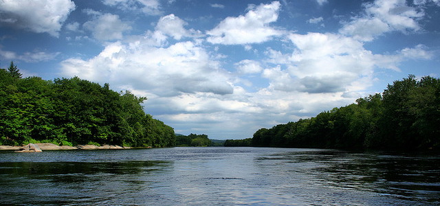
The Androscoggin forms in Coos County, in the northeastern part of New Hampshire, by the junction of the Magalloway River and the outlet of Umbagog Lake.
It flows south and southeast, entering Maine near Gilead. Then it joins the Kennebec River near Bath, forming Merrymeeting Bay, which empties into the Atlantic Ocean through a narrow inlet. The river’s length is about 175 miles (280 km) and it drops around 1,200 feet (365 meters) from its source to its mouth.
Economy and pollution
The Androscoggin’s falls supply power to mills in the Maine cities of Rumford, Auburn, Lewiston, and Brunswick. These paper mills are also a source of pollution for the Androscoggin River, as their waste is discharged in the river directly.
There are over 100 dams on Androscoggin River, although only 16 of these are used for hydropower generation.
Fishing is also widely practiced on Androscoggin, although it is mainly for recreational purposes rather than industrial ones. The river abounds in rainbow trout, brown trout and smallmouth bass.