| Quick Facts: | Aegean Sea |
|---|---|
| Countries: | Greece & Turkey |
| Major Rivers: | Greece: Vardar & Maritsa Turkey: Büyük Menderes & Gediz |
| Max. depth: | 3.540 m (11.600 ft) |
| Temperature: | Winter: 14 -16°C Summer: 25°C |
| Salinity: | 39.1 – 39.2% |
| Area: | 214.000 km² (83.000 mi²) |
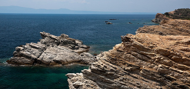
The Aegean Sea is an arm of the Mediterranean Sea. It is bordered on the north and west by Greece, on the east by Turkey, and on the south by the island of Crete.
The Aegean Sea is around 400 miles long and 200 miles wide. It is connected with the Sea of Marmara and the Black Sea through the Dardanelles and Bosporus.
Although the Aegean Sea is shallow in many parts, in places it reaches a depth of 7,500 feet and its maximum depth is near Crete at 11,600 feet (3,540 meters). Its main ports are Piraeus and Salonika in Greece, and İzmir in Turkey.
Aegean Sea in Ancient Greece
• the Thracian Sea in the north
• the Myrtoan Sea in the west
• the Sea of Crete in the south
• the Icarian Sea in the east
Its name has variously been said to derive from:
• Aegeus, a mythological king of Athens and the father of Theseus;
• Aegea, queen of the Amazons, who, according to legend, drowned into it;
the ancient city of Aegae (modern Limne).
Islands on the Aegean Sea
The Aegean has 1415 islands, most of them belonging to Greece. Originally, the term archipelago was applied solely to the Aegean Islands. With a few exceptions (Cunda, Imbros, and Tenedos) the Aegean Islands belong to Greece.
Most of the islands in the Aegean are popular with tourists. Such is the case with Santorini, Milos, Irakleia, Rhodes or Lesbos. Many of the Aegean islands are inhabited.